We were in Toronto recently, where Kim’s niece Clare was getting married to her partner Adam in a 1930’s art deco former cinema, now an events venue. The hospitality and good companionship of immediate family – who had flown in from all over the country for the big event as well as that of the new in-laws – was incredibly generous and inclusive making this visit extra special and truly memorable.
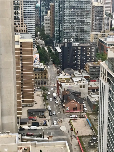
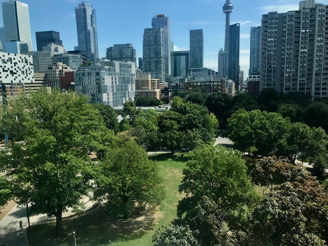
The city and its extensive suburbs is by far the biggest metropolitan area in Canada at 243 sq. miles/ 630 sq. km. and with a population of nearly six million people, is one of the most multicultural cosmopolitan cities in the world with hundreds of languages being spoken other than English. Arriving and departing from the city’s busy airport certainly reinforced that fact. Commanding the northern shores of Lake Ontario Toronto is the centre of Canada’s principal financial, media, commercial and logistical worlds, and its grid system of thoroughfares is bisected by rivers, ravines and urban forest.

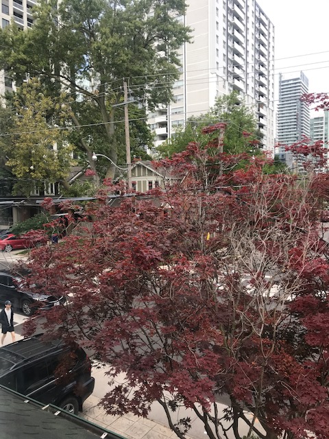
We were staying in an Air B&B in the inner suburb of Eglington. Strolling the residential area I clocked black squirrels, flocks of little finches and American Robins. Our clapboard house with its trees, porch & garden looked over – or rather, were overlooked by – new built blocks of apartments and condos.
There were the familiar street furniture of a north American cityscape, from fire hydrants to overhead traffic lights, yellow school buses and wide concrete sidewalks. More surprisingly were the first of a number of licensed outlets we’d see across Ontario legally selling marijuana products.
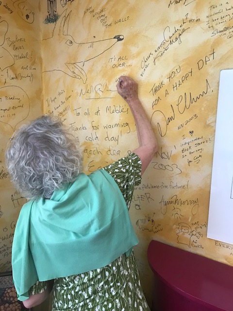
A stroll down the sun kissed boulevard took us by Mabel’s Fables, the city’s much loved children’s bookshop. The lady behind the desk got Kim to add her message & signature to the writers and illustrators wall in the room upstairs. She found a space between Neil Gaiman and David Almond to add her contribution of appreciation for this literary metropolitan oasis for the young.

My eye was caught by what I thought was a stuffed cat stretched leisurely over a pile of books on a display table. It turned out to be the shop’s real life mascot. Later I saw the laid back moggie skilfully catching flies in the shop window. Every bookshop should have one.

We enjoyed two special viewings of remarkable art collections during our four days in Toronto which allowed for a real insight and appreciation of Canadian culture. We were invited to a luxury apartment block downtown, to the penthouse home of one of the country’s foremost private arts patrons and philanthropists. Our genial host, a retired financier in his 80th year, had acquired and framed one of Kim’s drawings – Flea’s Hands (1979) – to add to his impressive collection of works by Canadian women artists. Our two hour personal guided tour of so many beautifully curated artworks, artifacts and rare manuscripts was an extraordinary privileged experience that will never be forgotten. That said, I’m glad I don’t reside in the sky as acrophobia would rob me of any enjoyment of immediate surroundings, however culturally awesome and life affirming.

The second artistic foray on the following day was a repeat visit to AGO – The Art Gallery of Ontario – a couple of blocks away. The Frank Gehry designed wing in particular made the perfect backdrop to this comprehensive collection of Canadian art over the centuries.

The vivid dynamic scenes of pioneer life from Montreal based Cornelius Krieghoff (1815-1872) contrast with contemporary paintings by leading First Nations artists like Kent Monkman. ‘The Deluge’ depicts the displacement of indigenous peoples by European settlers. Here the artist’s alter-ego rescues falling children and hands them back to their parents.

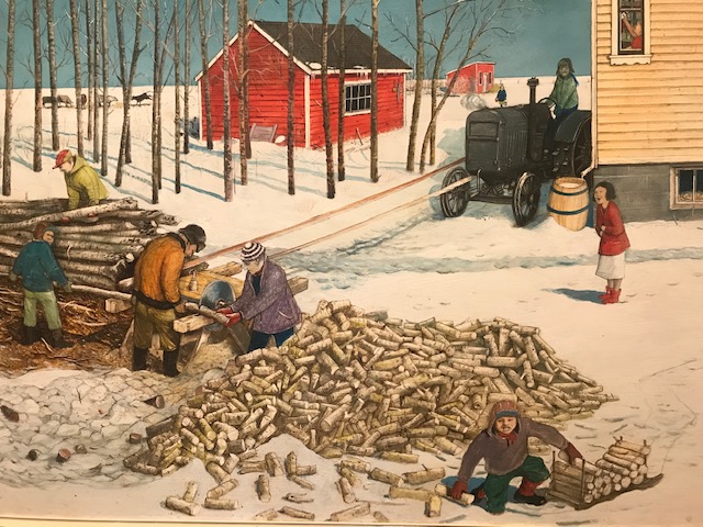
I was particularly drawn to the detailed paintings of country folk at work and play by an artist of Ukrainian heritage, William Kurelek (1927 – 1977). Loved the narrative qualities this self taught, spiritually motivated figure created in his fond depictions of rural life on the great plains.
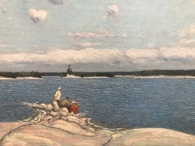
The Group of Seven is probably the most widely known school of Canadian art. These individuals explored and captured the rugged and remote landscapes of this vast country, putting them at the centre of their work, bringing their vision to international attention. Here’s one example, a view of Georgian Bay from 1913 by group co-founder JEH Macdonald (1873-1932) Born the son of a joiner in Durham, his family emigrated to Canada when he was fourteen. MacDonald founded a successful design firm and eventually became principal of the Ontario College of Art.
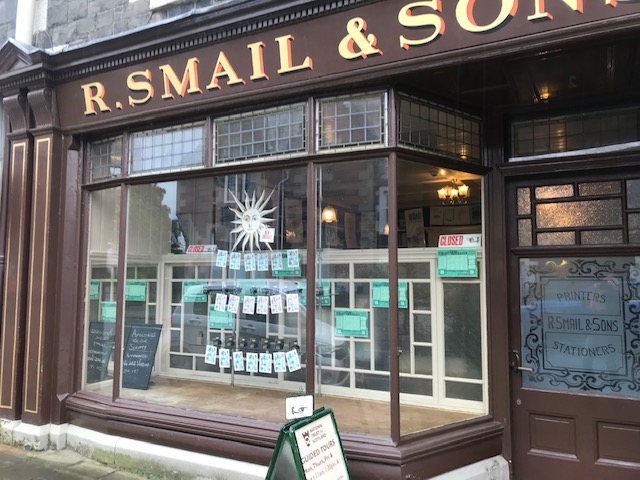
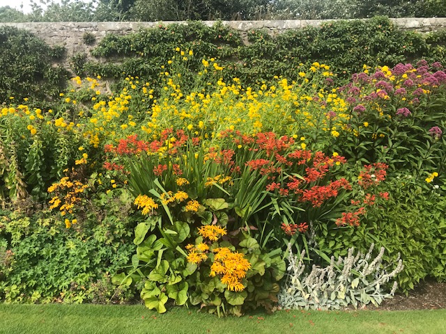
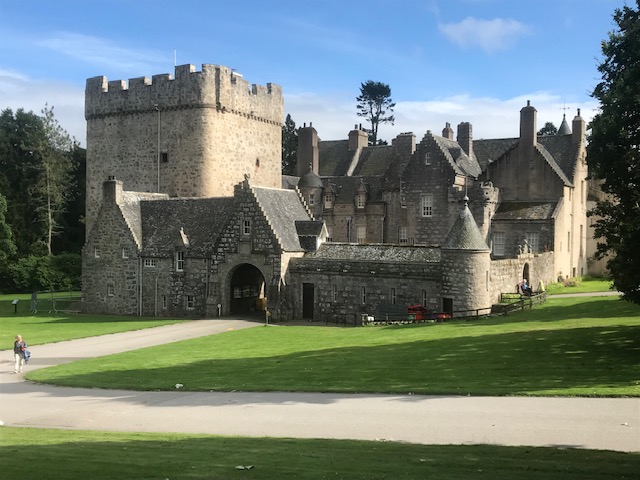
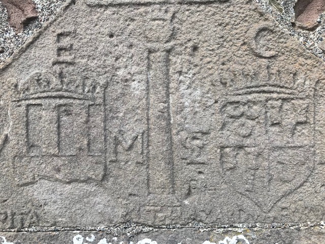
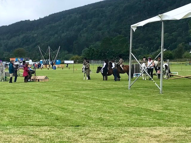
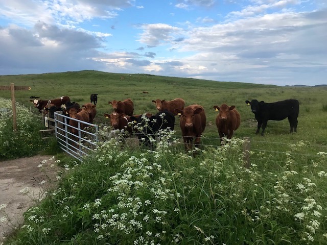
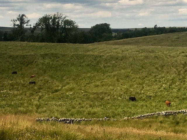
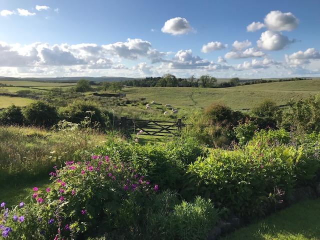
It was to the rural highlands in the east of Ontario we were heading, after the lovely wedding celebrations and art treats in Toronto, and further diaries will live up to their country titles.