A garden is a grand teacher. It teaches patience and careful watchfulness; it teaches industry and thrift; above all, it teaches entire trust. Gertrude Jekyll
There’s something of a thrill to be had in stepping out of a noisy London street into an old walled garden. And not just any green urban oasis but the Chelsea Physic Garden, the country’s second oldest, after Oxford’s Botanic Garden. In that time it’s been intensely studied, expertly curated and lovingly cared for by generations of gardeners and botanists. Always constant, always changing.
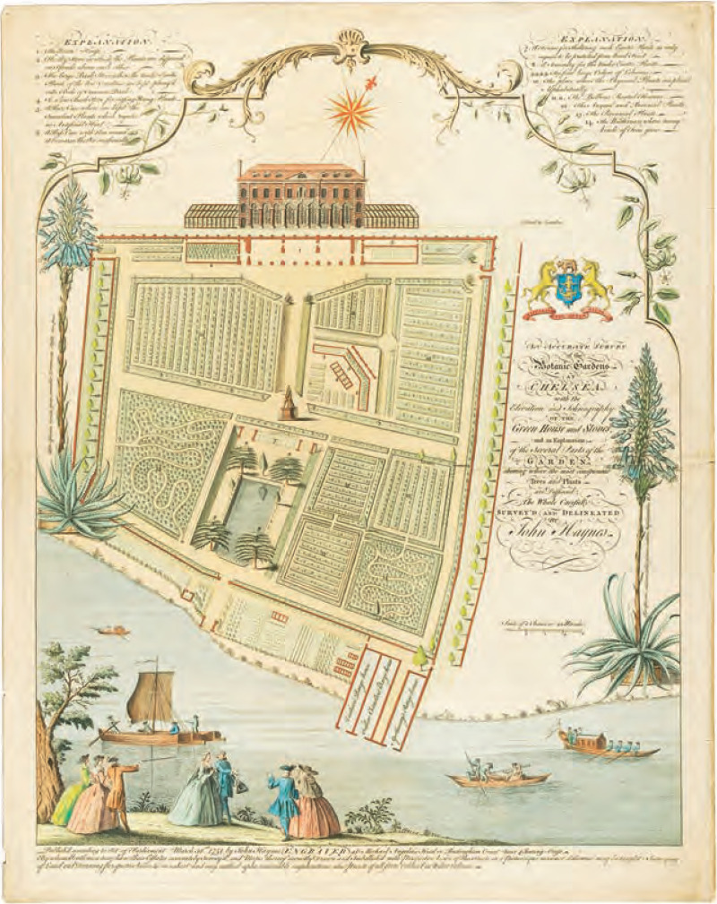
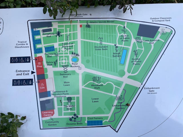
Cultivating medicinal herbs and other useful plants from around the world, ensconced in its own microclimate, these precious four acres are bounded by busy thoroughfares, elegant Georgian terraces and lofty Edwardian apartments. The physic garden was established on the site of a market garden in the village of Chelsea by the Worshipful Society of Apothecaries in 1673. It was meant as an outdoor classroom for apprentices to study medicinal plants and their uses. An independent charity since 1983, the hitherto private garden only opened its door in the wall to the public in 1987.
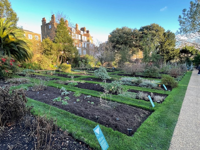
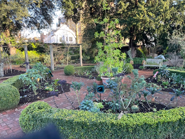
We had a relaxing lunch in the cafe before exploring. I ambled off to crop some pertinent facts while the head gardener took her own more knowledgeable and thoughtful turn around the grounds. Being early February we only expected to take in a structural sense of the place, but its sheltered site and great variety of plants in different sections meant there was much to see and admire, and of course no crowds to navigate – unlike the major art exhibitions we’d visited.
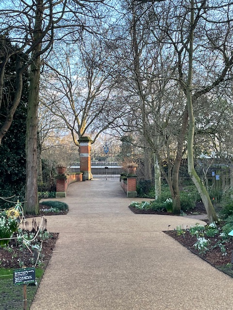
Up to mid Victorian times the site enjoyed a river frontage, with plant bearing barges plying their way downstream to Apothecary Hall, Blackfriars, in the City of London. Construction of the Thames Embankment – a huge undertaking carrying underground railway, sewage pipes, walkway and road – divorced garden from river highway. Now an elegant water gate marks the old entrance route and baffle boards by boundary railings soften the traffic noise.
The garden was once famous for its spectacular Cedar of Lebanon trees; being one of the first places in England where they were grown successfully from seed. Alterations to the water table caused by the embankment barrier saw those venerable trees wither and they had to be felled. A rare failure for an institution that started its international seed exchange programme as long ago as 1682.
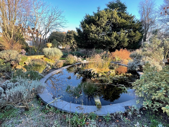
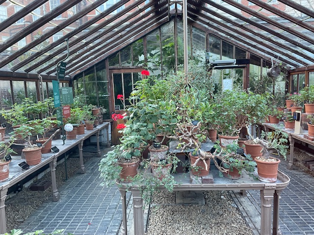
Thinking fondly of the horticultural businesses that flourish in the famous ‘Rhubarb Triangle’ of West Yorkshire I learnt that the technique of forcing (light prevention) was accidentally discovered here back in 1817. Another claim to fame is the rockery round the central pond, originating from 1723, credited with being the first of its kind in the world. In the same year the garden’s glasshouses, heated by stoves, produced pineapples and other tropical fruits, which says something about the status of the place at that time. Only the very wealthiest in Georgian Britain could afford heavily taxed glass for greenhouses and the staff necessary to produce such exotic produce on home ground.
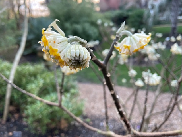
Arrested by an entrancing aroma, my nose led me to a plant with yellow tufts of flowers called Edgeworthia Chrysantha, AKA the Paperbush shrub, which originated in China. The long inner bark of the plant, known in Japan as Mitsumata, was used for centuries to make bank notes there, so strong and tear proof is the natural fibre when pulped. A fascinating origin story, just one of many plant histories recounted here.
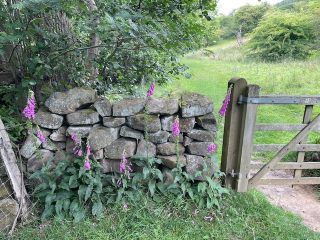
The section given over to poisonous plants is clearly a visitor favourite. A student nurse who completed her Apothecary training in 1917 and who lived nearby, between the wars, was Agatha Christie. She famously used that insider knowledge of deadly plants grown here – hemlock, belladonna, foxglove et al – in the plots of her many murder mystery novels.
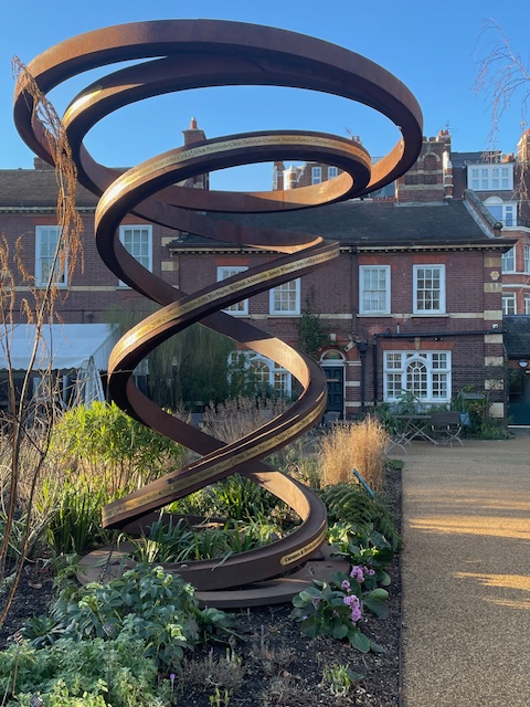
Although you wouldn’t know it at this time of year, the spiral eyecatcher of a contemporary sculpture, marking the garden’s 350th anniversary in 2023, also doubles as plant support in the summer months, which is pleasing.
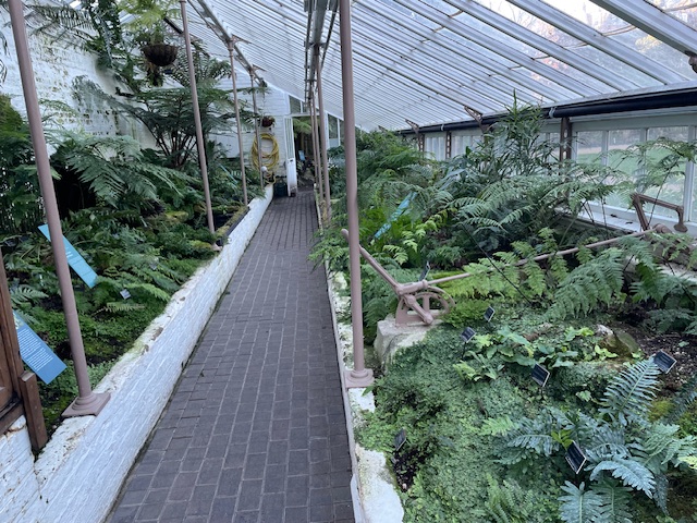
Another impressive structure is the original Victorian cool fernery and adjoining glasshouse, comprehensively restored thanks to funding from the Heritage Lottery. These elements of the garden were particularly popular in the C19th century when Chelsea further extended its reputation as the foremost collection of medical plants in the UK.
As country dwellers we found this venerable cultivated corner of the capital a quietly engaging draw. Remarkable that it hosts as many as 80,000 visitors a year and that more than 4,500 species of edible, useful and medicinal plants from home and abroad have are on show here. Our quiet afternoon discovery allowed us to appreciate its semi-dormant state while imagining what it would be like in other seasons…Cue return visit!