Thought I’d celebrate being 75 last week by taking a walk at a place often driven past while heading over the border via Carter Bar. We started at ‘The Last Café in England’, something of a local institution, on the A68 in Rochester village. Coffees with a bacon butty, made deli style with focaccia bread, set us up nicely for the afternoon ahead. The café’s handsome resident hens are a law unto themselves as they weave in and out of customers, but I liked their casual audacity of their panhandling approach.
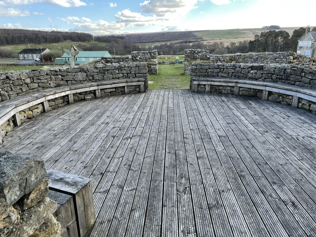
I’d called in here for the first time earlier this year returning from a social trip north and on that occasion discovered the neighbouring interpretation centre, a contemporary structure of wood and stone. (exterior, above) It gives an overview of the early history of Upper Redesdale, centred around the Roman fort, or rather series of forts, situated on the slopes above from 80 AD to AD 340 when it was abandoned.

Bremenium fort stood guard over their cross border highway, known since the middle ages as Dere Street, and roughly aligned with the A68 today, which linked the Roman towns of Corbridge (Corstopitum) to the south and Melrose (Trimontium) to the north. That first fort, founded by the great Roman general Agricola, preceded the building of Hadrian’s wall by some 50 years. It was a vital logistical base and stopping off point on the supply route that spearheaded their invasion of what is now Scotland. When the legions later withdrew Bremenium’s importance only grew as the most northerly permanent outpost of the empire. At its peak up to 1,000 men were stationed here; infantry, auxiliaries, scouts, cavalry as well as all those who supplied their needs in the civilian vicus and beyond.
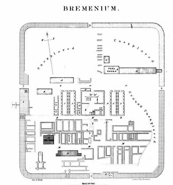
We ambled along the lane that leads up to High Rochester, and the hamlet within what was Bremenium. Like Hadrian’s wall and other Roman sites it would be robbed of its vast resource of dressed stone in the centuries that followed the legions departure from Britannia in AD 410.
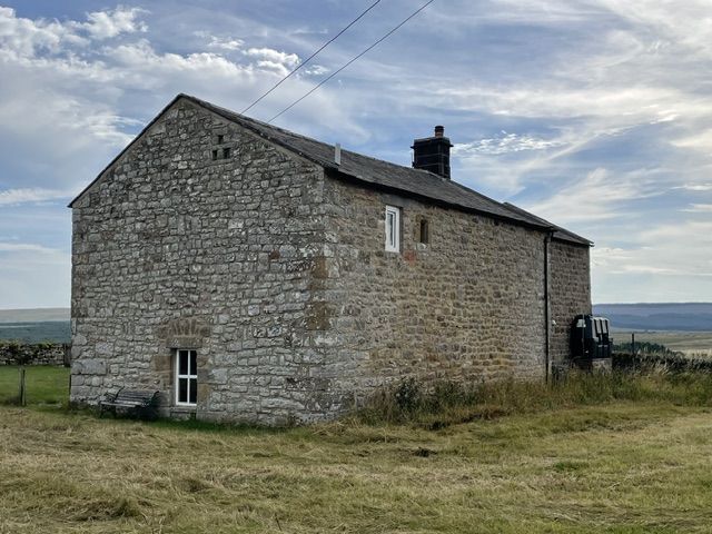
By the C16th our region would became notorious for cross border cattle raids by marauding native clans known as the Border Reivers. In 1581 a particularly bad incursion from Scotland laid waste to High Rochester. We could see that at least one of the existing buildings on the old fort site was originally a bastle, (above) a fortified stone house where animals and people were barricaded in during Reiver raids.
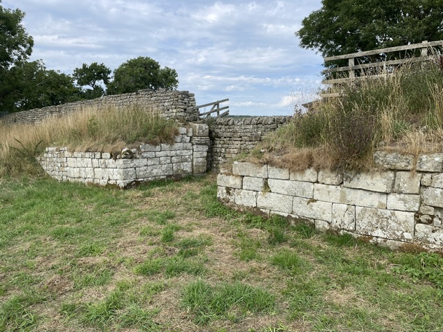
Later, after the union of the Crowns in 1603, what passed for peace and and the re-establishment of the rule of law slowly returned to these borderlands. That speeded up the fabric recycling process and most of what stone was left of the fort vanished from view only to reappear in the form of the houses, farms, cottages and barns scattered across this wild rugged landscape. The most impressive remains (above) are of the stout western walls and gateway, accessed by footpath from the lane.
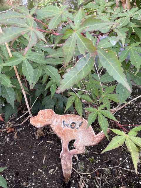
A hot day, with a gentle breeze to cool us as we left the site for even higher ground. In the neighbouring field a stone waller was plying his ancient craft, under the shade of a small gazebo. Our metalled road became a gritted track then a grass path through rough pasture, leading to a farmhouse entrance with a cautionary sign for passing dog walkers…
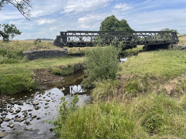
Here on the edge of conifer forest we emerged on to extra wide gritted trackways. On one side of us lay the 93 acres of the Otterburn live firing ranges (a quarter of the national park) which have played a key role in training the military since 1911. On the other side is the 250 square miles of Kielder forest, the country’s biggest commercial softwood resource. Military vehicles and timber trucks both require this standard of roadway to get about. We had our mid walk snacks where an impressive metal cantilever bridge crossed the Sills burn, the little river in its steep sided valley, and the ‘place of the rushing waters’ that gave Bremenium its name.

One of the highlights of the Great North Museum in Newcastle is a deep relief stone frieze of Venus and attendant water nymphs which was found fronting a water tank in the commander’s quarters in 1855. Its mix of Roman and Celtic styles makes it particularly engaging…Hard to imagine the goddess and her attendants taking a dip here today though.

A little further on we crossed the line of Dere Street. To our right, heading arrow straight into the firing ranges and Scotland beyond, was a well-kept road for farm, forestry and military access. But to our left a trace of pathway and the odd paved stone protruding from rush covered grazing were the only signs that the old Roman road had ever ran through there. The path’s dislodged weather beaten interpretive sign seemed to say it all.
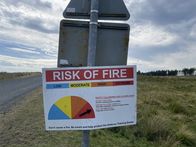
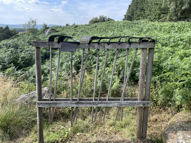
Another sign we had to take notice of though was this one. Someone must have been out recently to set the dial at extreme risk of fire. Earlier when walking downhill through the forest we’d seen beaters lined up by the roadside, ready to be enlisted in putting out any nascent flames. Mindful of images of recent devastating wild fires elsewhere in the UK and on the continent, the sign was a suitably sobering reminder of seasonal danger.
At this point in our ramble opinions differed as to the return leg of our route. Our Northumberland National Park guidebook (published 1996) had got us into trouble before. A walk above Falstone last year promised a fine view over Kielder water from its highest point, but when we got there the subsequent conifer growth had completely blocked any vista. Similarly, this walk advised returning to Rochester by following the marked OS footpath between forest and stream. I was all for following the green dots, even though no sign of any path existed, while Kim favoured either going back the way we’d come or carrying on along the track to gain the A68 north of Rochester and loop back the long way.

She was reluctantly persuaded to opt for my route. Setting off we quickly found ourselves in the roughest of rough grazing before clambering through a bank of forest fringe, ducking under low sweeping branches. A relief to come across a style in the fence and some footprints. Traversing the steep sloping field ahead, full of chest high bracken, wasn’t the most encouraging of prospects. Making instead for gaps where they existed, we zigzagged on open ground, heading for the eminence of Bremenium ahead, with a visible path curling up to it, over the humps and bumps that are the remains of defensive ditches. Eventually then we got there, much to my relief. Kim said nothing, clearly not best impressed with my boys’ own spirit in pursuing the lost footpath that the guide book had directed us along.
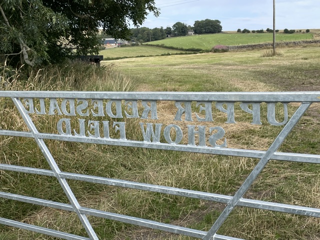
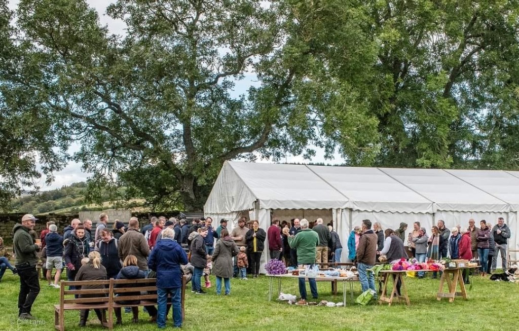
Today a corner of Bremenium, bounded on this west side by the remnants of its thick wall foundations, is home to the annual Upper Redesdale Show Society who put on the Rochester Show on the last Saturday in September. The 2026 event will be their 135th gathering.

A rural community celebration and a far cry from the blood and guts history of the area. I pulled in at the Redesdale Arms for a refreshing pint in the garden overlooking the dale at its tranquil summer best. We relaxed in the late sun and had a laugh about that last leg scramble of a ramble. Once home the old guide book was duly consigned to the recycling bin. From now on, when walking in this neck of the woods, we’ll be using the up to date guides supplied by the Revitalising Redesdale Community Partnership. https://www.revitalisingredesdale.org.uk/