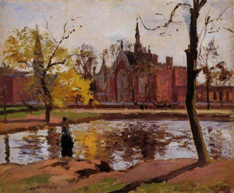
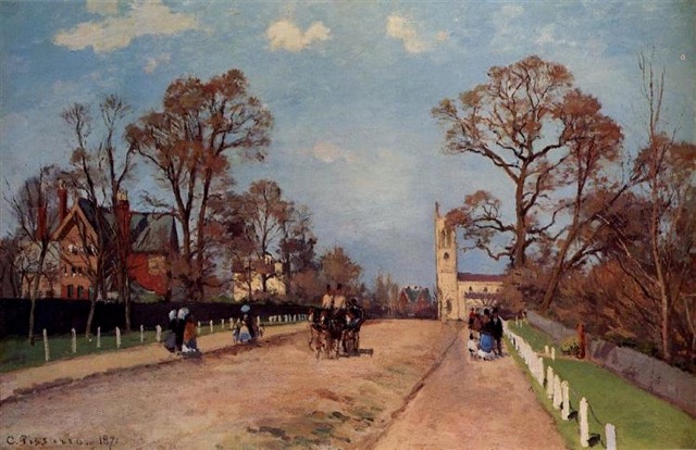
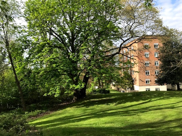
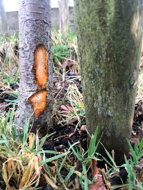
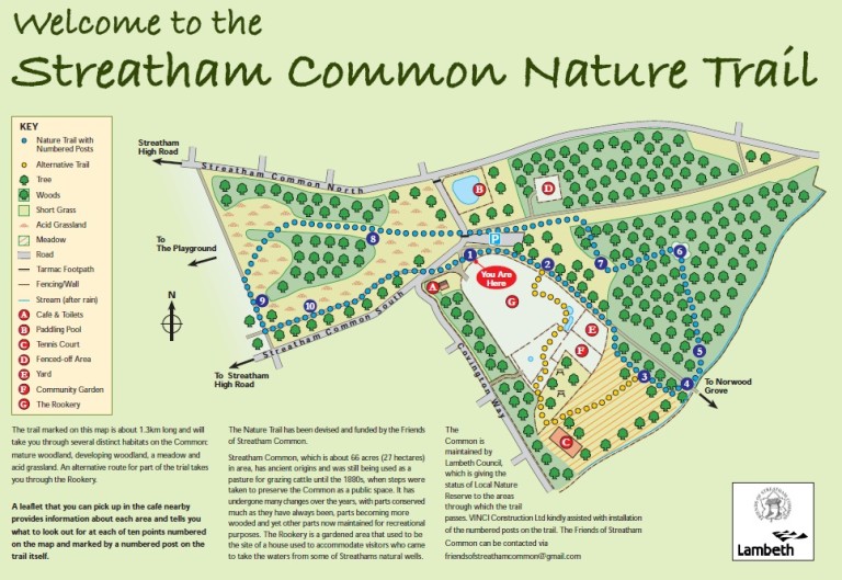
This is the third and final blog about recent rambles around the south London suburbs of Forest Hill (Borough of Lewisham), Dulwich (Borough of Southwark) and Streatham (Borough of Lambeth), discovering how remnants of the former working landscape between Croydon and the Thames, known as the Great North Wood, have been redefined and restored within the public domain as sustainable green spaces, all of them less than seven miles from the centre of London. My memories of Streatham are of tedious car journeys along a relentless commercial highway, relieved by a visual breakout by parkland before bricks and mortar closed in again. This time a whole new vision of the place opened up when we visited that patch of green glimpsed decades ago, which I now know to be Streatham Common.
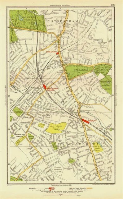
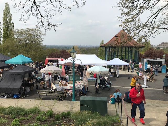
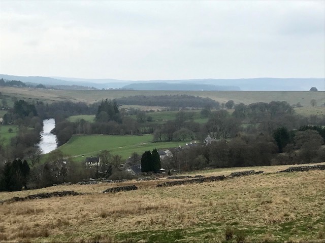
Streatham means the hamlet on the street. That high road – the A23 – has never been anything else but constantly busy since the time of the Romans when it linked their southern coast settlements with Londinium. Today, after some 300 years of enclosure and intense development just 66 acres (27 Hectares) remain. Although no longer used to graze stock and horses or provide fuel, the common is still highly valued by its contemporary commoners, albeit for different reasons. Protected by act of parliament the place was designated as a local nature reserve (LNR) in 2013. As an urban green lung it combines all the things you might expect of a park – refreshments, toilets, paddling pool, playground etc. – with countryside landscape features of meadow, woods and rides, stream and orchard, plus great views over a wide sweep of south London.
Tucked away within the leafy summit of the common are the historic Rookery Gardens. Their origin lies in the mid C17th discovery and subsequent development of mineral springs on this part of the common. Wealthy Londoners flocked to fashionable Streatham Spa to drink or bathe in the waters to help cure or alleviate their various ailments. By the 1780’s formal gardens and parkland had been laid out around the wells and a large house known as ‘The Rookery’ built.
By 1912 Streatham had developed its suburban infrastructure and the private gardens were under threat of housing development so local residents led a campaign to raise the money to buy it themselves. In association with the then London County Council, the mansion was demolished and its site landscaped. The Rookery’s gardens were restored and extended to include existing woodlands. The five acre site opened to the public in July 1913.
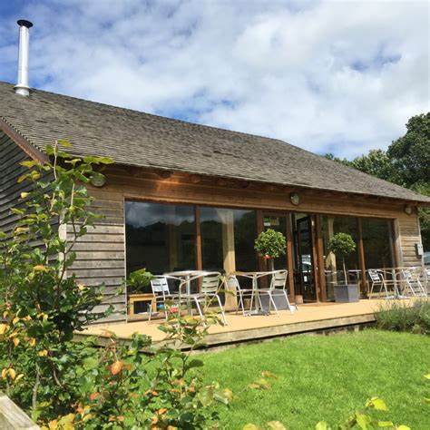
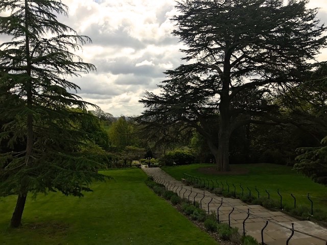
We entered the gardens by the cheerful bustling café on the common where we later enjoyed a great outdoor lunch. Grasslands and formal terrace at the top of the slope yield wide ranging views south while wide railed steps lead down past a magnificent Cedar of Lebanon to the formal gardens and woodlands below.

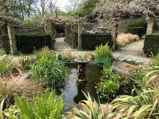
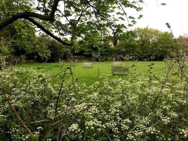
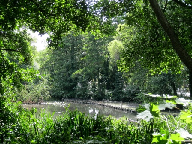
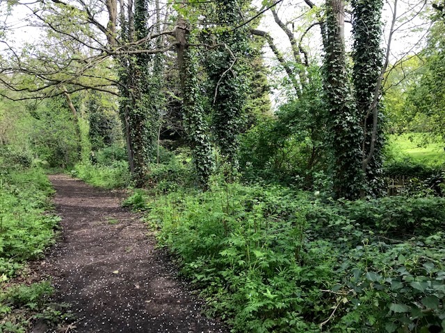
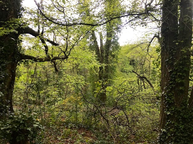
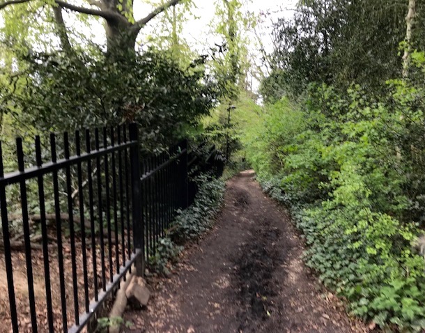
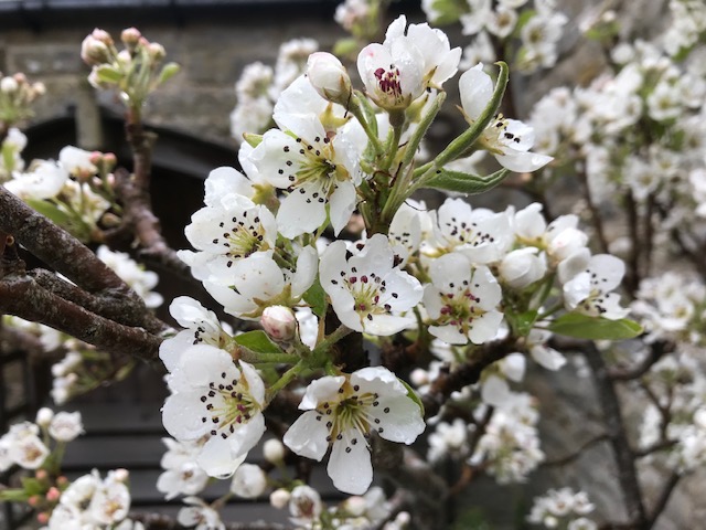
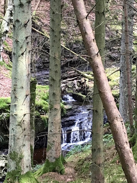
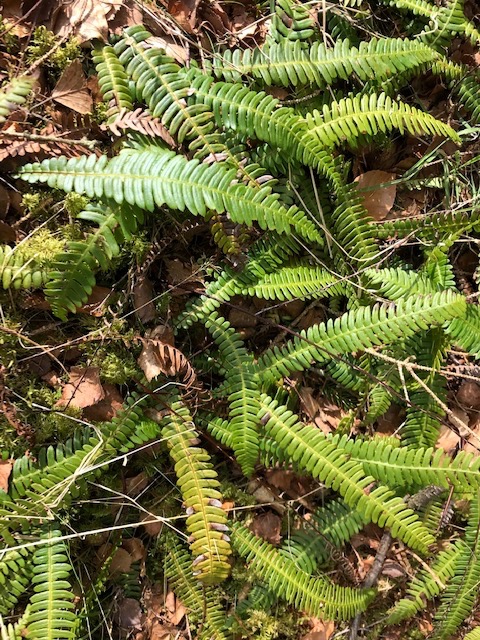
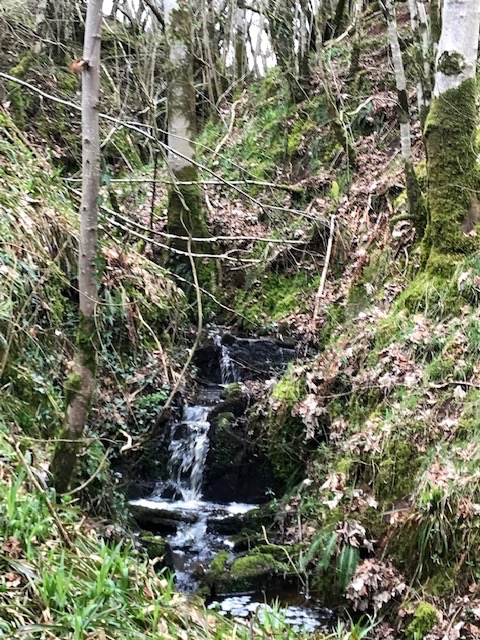
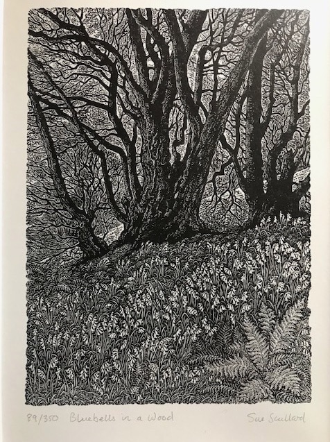
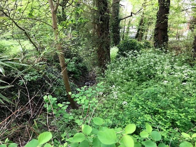
The old English garden with its traditional cottage style planting in geometric beds separated by stone flagged pathways and trellises was originally part of the walled kitchen garden supplying the big house. That gives way to a sheltered wide avenue with broad beds, the white garden, named for its floral displays, leading to a rock garden where the stables once stood. I particularly liked the dell outside the formal part that features a recently planted orchard and fenced off mature deciduous woodlands with lush undergrowth, through which a narrow stream runs.
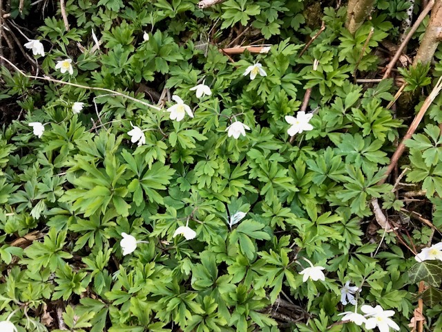
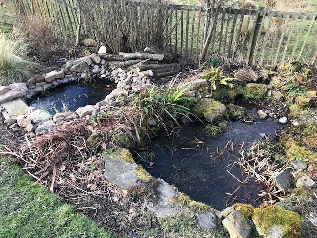
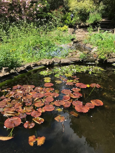
In the English country garden is the original location of the mineral well shaft and a modern cover has been added. Above that a series of smaller garden rooms have interconnected ponds, replete with lillies and water hawthorn, teeming now with scores of newts and thousands of tadpoles. Toddlers and grown ups were thrilled at the sight of life in the waters. Later, as the humans moved off, a canny rook flew in and positioned itself in the shallows to effectively scoop up scores of the little wrigglers in its snapping beak.
My cousin, our weekend host, had never heard of the Rookery Gardens before so for me to introduce her to it was an extra pleasure. It’s an enchanting, in many ways surprising spot, neatly combining the formal with the informal and clearly much loved by the dedicated band of community volunteers, supported by borough of Lambeth rangers, who have invested in and maintained this wonderful community asset for all to enjoy.