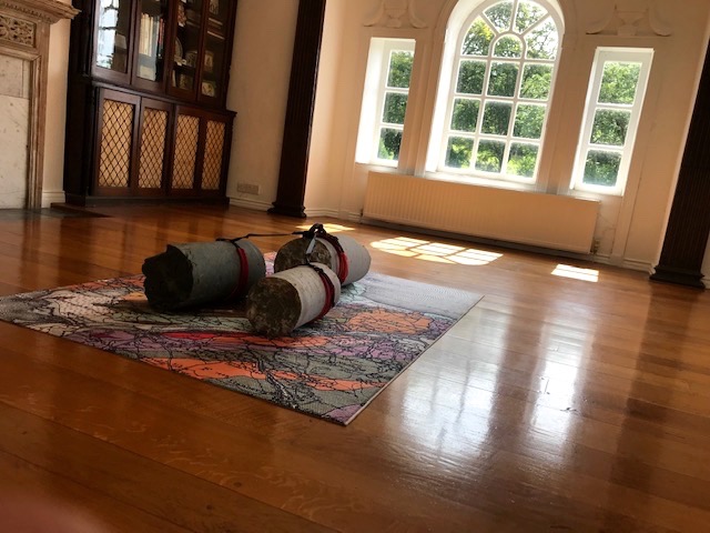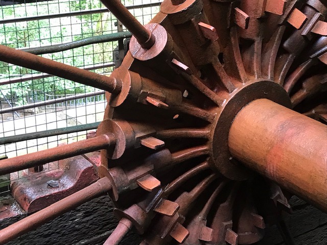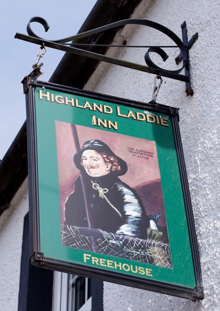
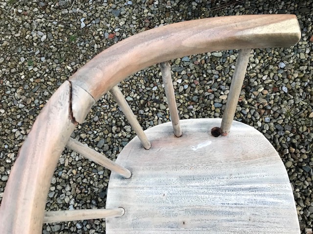
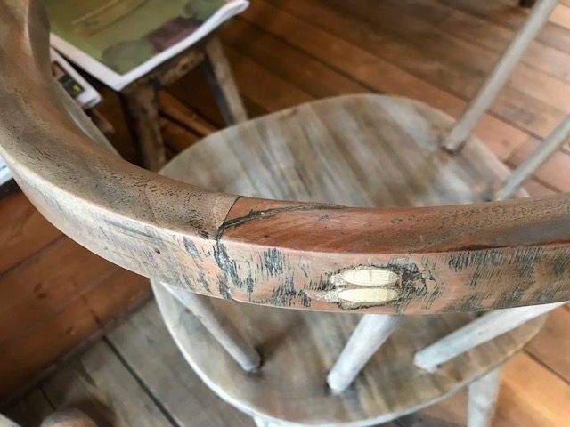
December taken up with the tying of loose ends, like putting the most recent tour to bed whilst laying foundations for the next. The small captain’s chair we use for the reader (compact enough to pack into the back of my trusty Fiesta) snapped at a former fracture during the last performance of the run. Dave, our friend and rural neighbour, took it away for repair soon after and returned it last week. He’s done a brilliant job inserting a pair of dowels to fix the join as well as resetting the support spokes…All ready now for more touring next autumn.
After a long spell entertaining it’s always good to go see others at work. December with its many seasonal offerings is always good for that. Witnessing grandson Harry (13) pull off a strong lead performance in his school play (‘The Nightmare Before Christmas’) was a proud moment for his family.
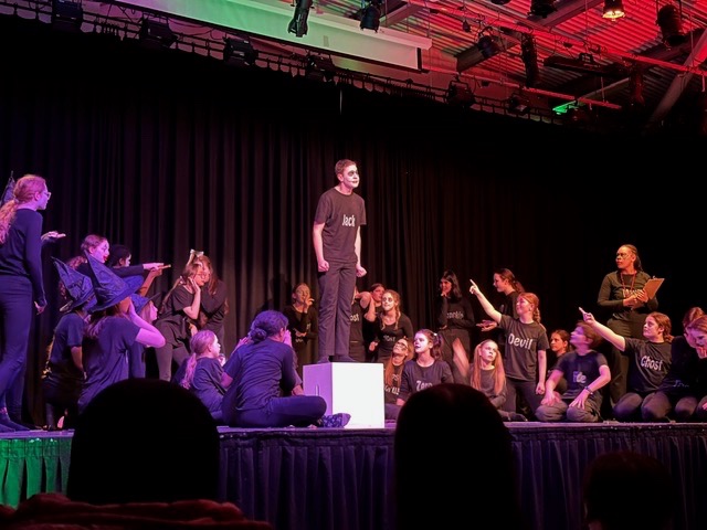
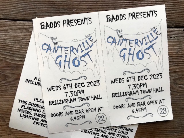
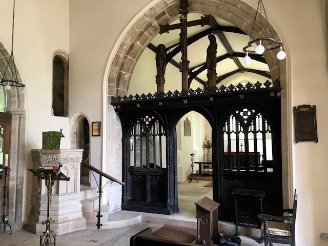
Later we got immersed in another of our local community theatre company’s technically accomplished productions in the old Town Hall. This time around it was a freewheeling adaptation of Oscar Wilde’s ‘The Canterville Ghost’. Our £10 individual tickets included a light interval supper of home made soup, bread & cheese while locally based First & Last Brewery ran the bar. The final draw of the obligatory raffle netted me some exotic bath salts, so clearly my luck is in!

Kim & I delighted to see our dear friend Vicky Brazier in a great ensemble piece at Theatre by the Lake, Keswick – a fine adaptation of Frances Hodgson Burnet’s ‘The Little Princess’. Apart from assuming a happy ending, it was great not to know the plot, as you do with many other familiar pieces. The post show bonus was being introduced to ‘The Wainwright’ pub in town. We got happily settled in its bustling back bar, socialising with Vicky and other cast members, whose characterful watering hole this is. Crept carefully into our B&B just before midnight struck. Oh, the joys of an old fashioned theatrical night out!

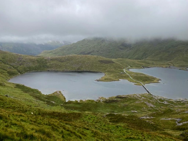
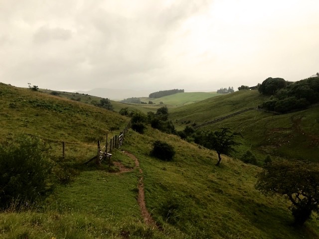
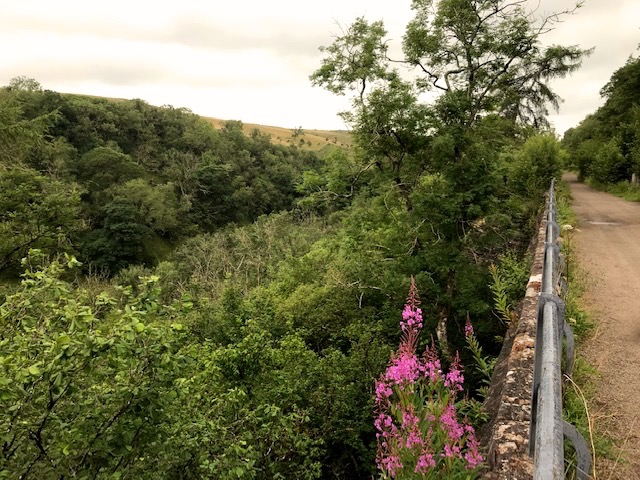
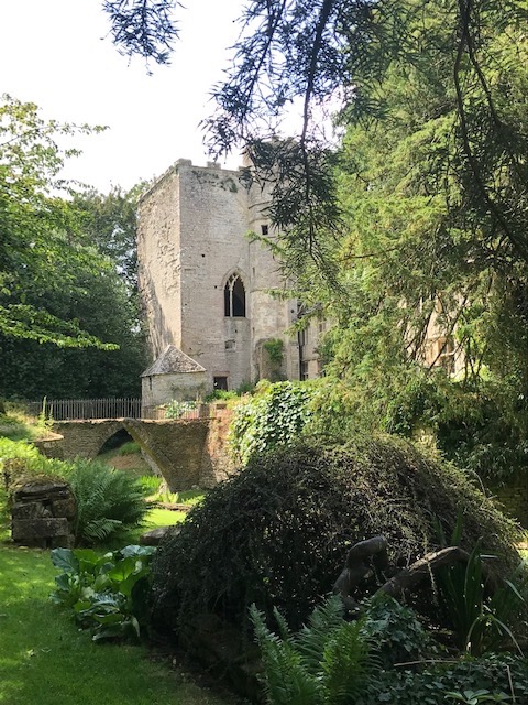
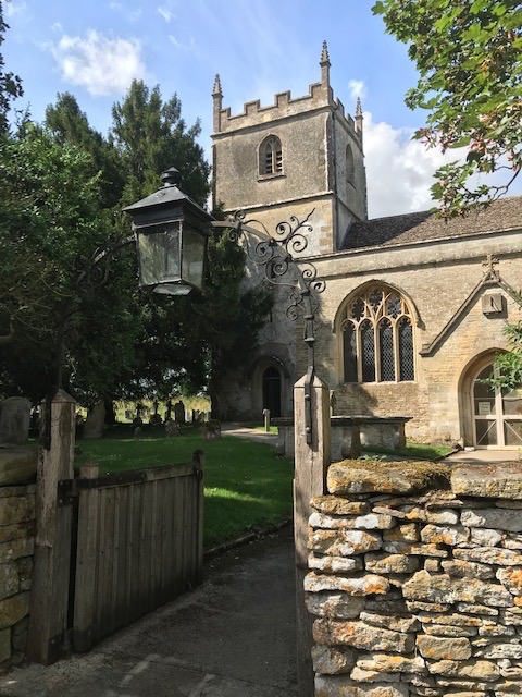
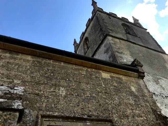
Next day we drove Vicky up into the neighbouring Newlands valley for a short walk along the tracks before she had to get back for the matinee. Such a beautiful setting, made even more so in the snow, despite tricky conditions encountered driving along ice compacted narrow and twisty lanes. Among the secluded vale’s scattered farms and cottages stands an isolated parish church and former schoolhouse by a stream of crystal clear waters. Luckily for us we had left area for home before a major snowstorm struck later that evening, cutting off huge swathes of the Lake District and blocking many major roads, including the M6.
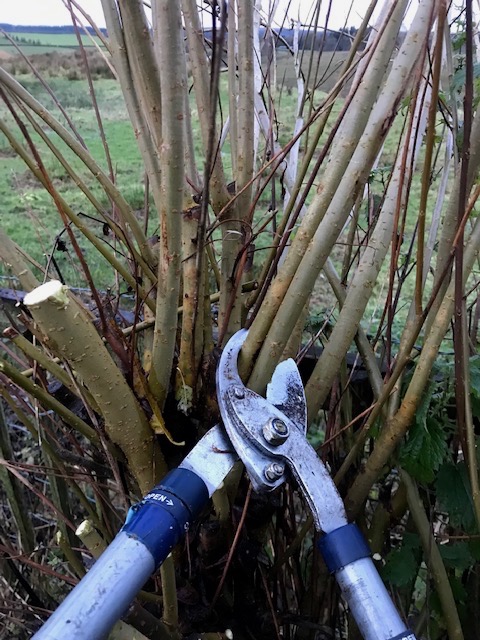
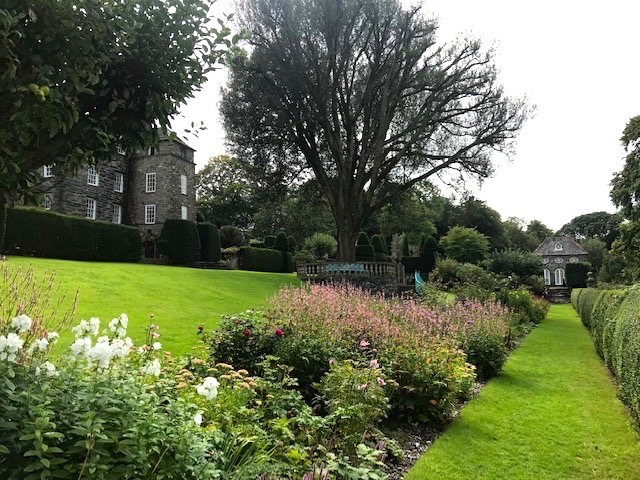
Weather permitting at home, we got back to doing more maintenance, prep and structural things around the garden. My main tasks were raking and bagging up the remaining leaf fall in the wake of storms for mulching and composting; cutting willow in the garden for chipping, retaining as bean poles or making into decorative stars or wreaths; re-potting shrubs and decorative trees. One is a pear, on the sheltered south facing front garden, the other an eleagnus quicksilver, which manages to survive on the exposed northern side of the house.
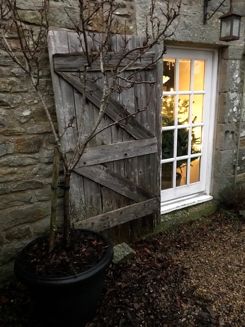
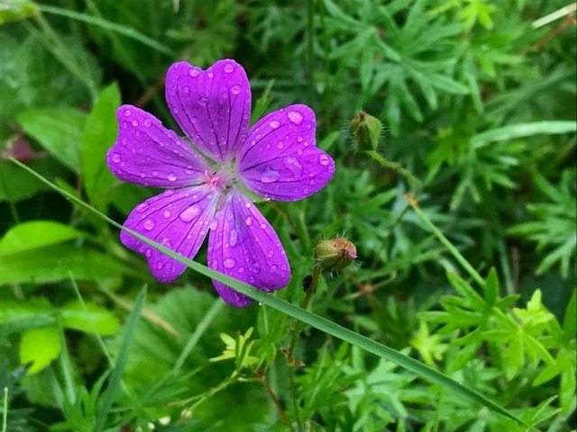
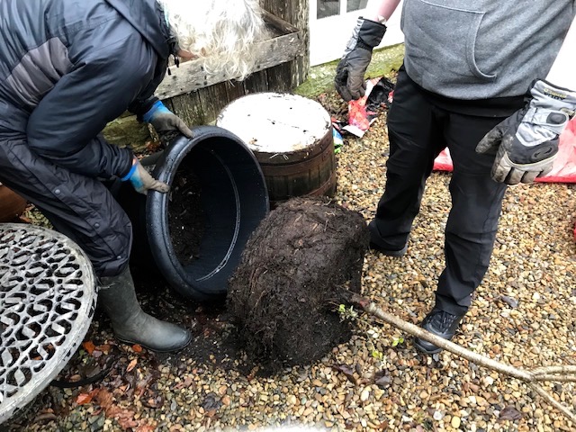
I describe the pear as decorative because, although it’s perfectly healthy and produces splendid blossom every spring, its restricted existence inevitably results in a poor fruit yield (2, if we’re lucky). I live in hope a bigger pot can help toward doubling the crop in time. It’s a tough and elegant little tree that is now more stable and no longer needs propping, which is the main thing. Luckily, younger son Patrick was visiting recently and helped us transfer the dense root ball from old home to new. I’d earlier managed to tip and ease the tree out then realised it was too heavy and awkward to manoeuvre unaided into the new pot.
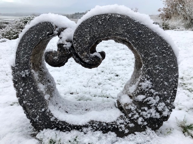
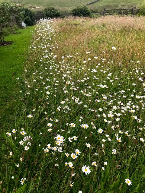
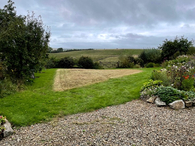
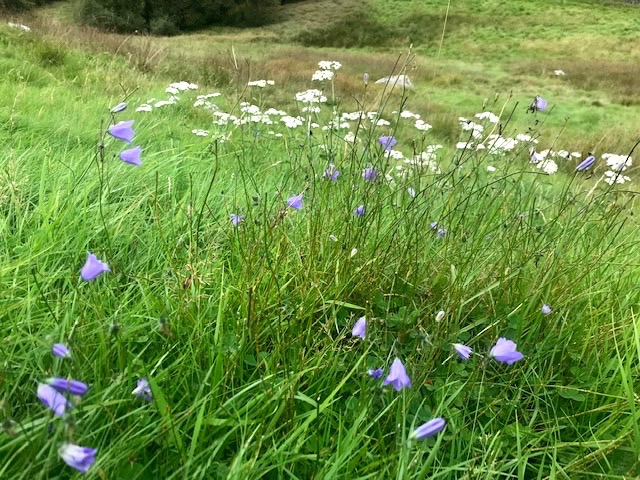
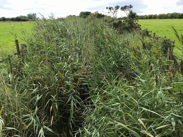
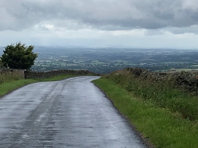
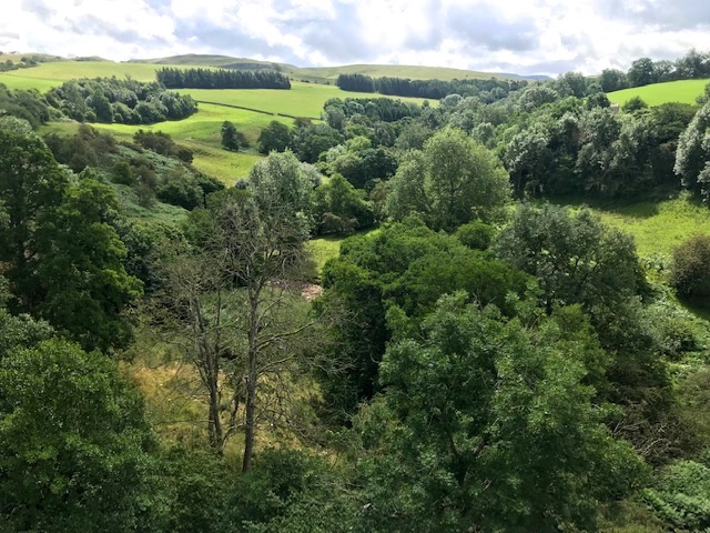
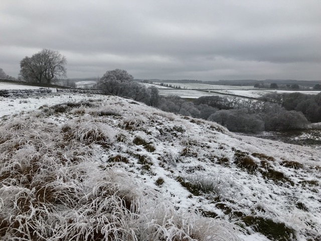
There seems no end to the rain and wind we’ve been having recently. When an interlude of snow and ice occurred, even though its residency was just days, the transformation across our hill country vista was spectacular and welcome. It prompted a saunter along the dry stonewall boundary of our four acres of rough grazing (The Crags) to admire the scenic views at field’s end.
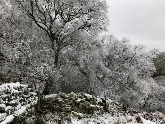
The neighbour’s woodland trees stood minutely defined, bare twigs and fissured trunks of oak, alongside birch, ash, rowan and willow further down in the sodden bottoms. Sounds all stilled in the cold air, perfectly magical. I thought of Robert Frost’s lines: ‘Whose woods these are I think I know./ His house is in the village though/ He will not see me stopping here/ To watch his woods fill up with snow’
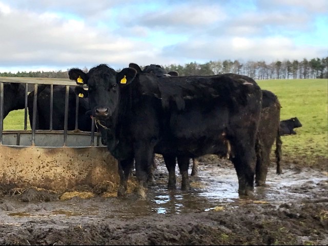
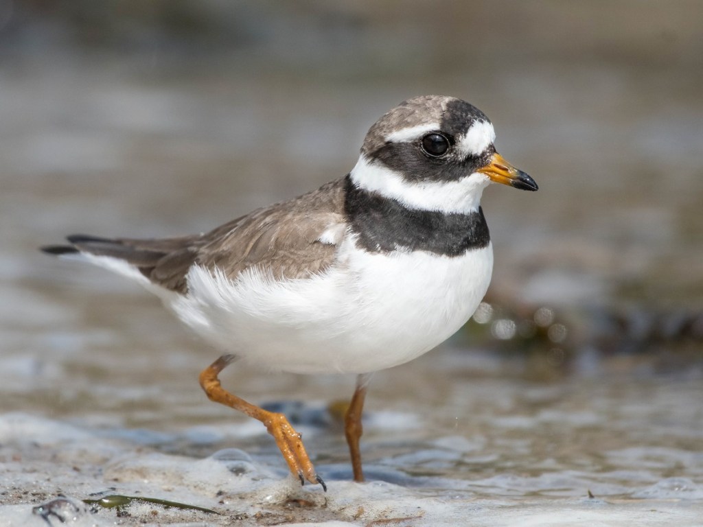
Another day, walking down the lane, we passed a neighbour’s tups, each ram fitted with a harness so mating progress can be monitored. A couple of Texels and a Suffolk, co-existing amicably in the large pasture, were overseeing a shared harem. Many of the ewes, having been covered by all three, present like multi coloured rugs. Further afield one glimpses hardy outdoor breeds of upland cattle, like belted Galloways, Blacks or Blue-greys. Nearer home, Southridge’s herd of stabilisers are mainly housed in their new shed, working through the summer’s crop of silage and hay.
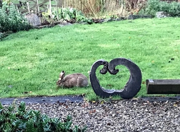
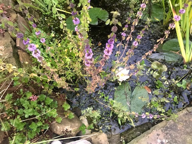
Hares, whose prints we always see in the snow, live somewhere in or around our field and for a week or so, when the wet and grey days returned, one of them cheered us with its presence, grazing the garden grass, quite unconcerned by human presence. Fishing out fallen oak leaves accumulating in the garden ponds I’ve been surprised to net a by-catch of wiggly baby newts, most barely an inch long. Think they must stay in the pond throughout winter, surviving under the ice that formed when the temperatures plummeted.
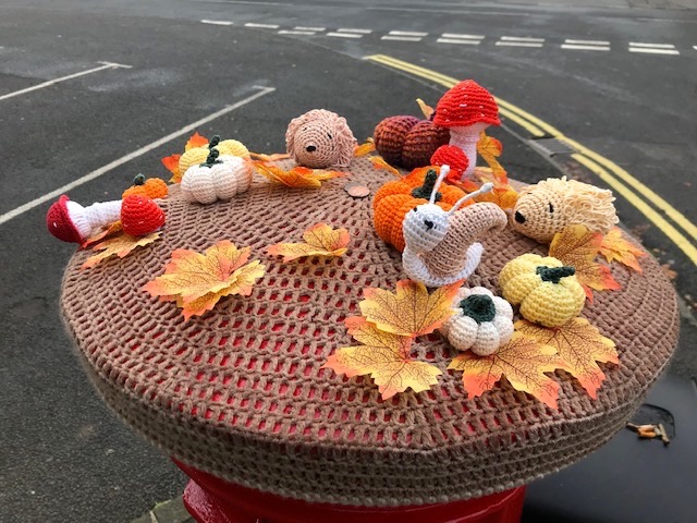
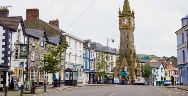
On trips to the valley’s big village I’m pleased to see individual tokens of seasonal cheer, not just in the little independent shops and businesses, lovely and cheering in itself, but also on the streets.
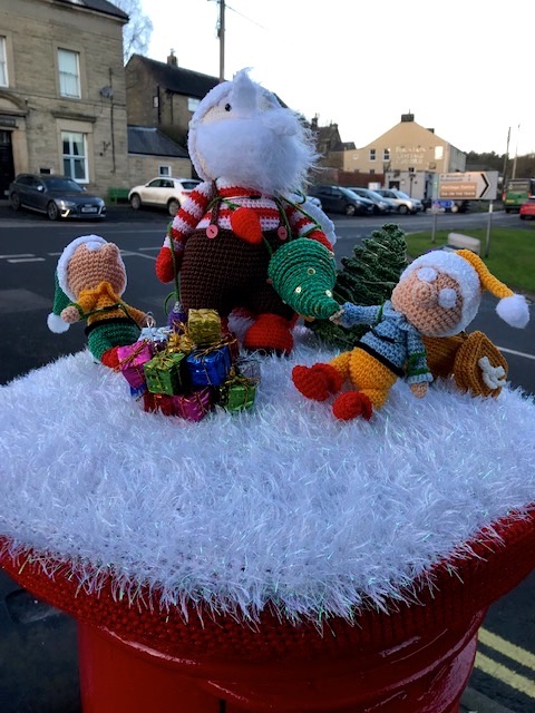
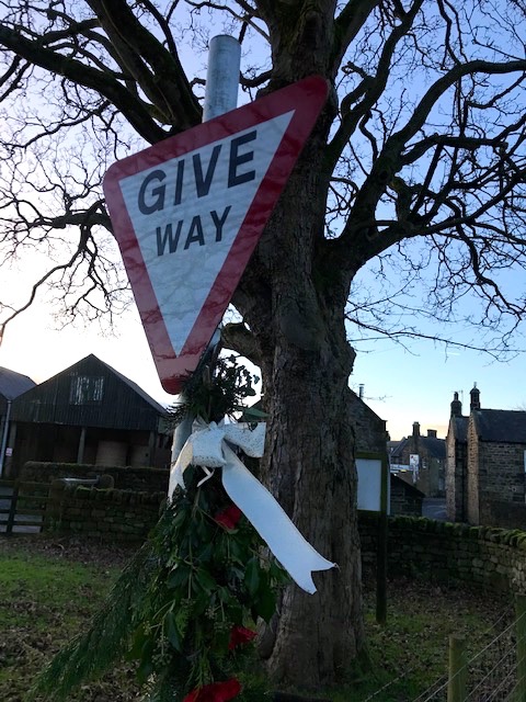
Most noticeably, the post box topper handcrafted by a local lady or the parish council’s sprigs of conifer on road signs.
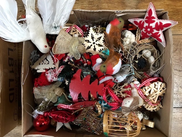
Back home the tree is up and lit, cards start arriving and Kim retrieves from the attic her box of Canadian family heirloom advent calendar and traditional decorations for the tree. This is my last country diary of the year. In conversation with friends recently, or in receiving notes on Christmas cards, it’s been heartening to learn how many enjoy reading these occasional jottings. To each and every reader, known to me or not, thank you for your interest and encouragement. Despite the time it sometimes takes to do I enjoy keeping this online journal as record of a country life. As long as there’s a readership I’ll continue to write them. Here’s wishing you a merry Christmas, with every best wish for the year ahead!