Tell me a thing or two about bones / how they rise from the earth like stalks of wheat / vertebrae on vertebrae / defying gravity for a while, odds stacked / and when the breath is passed / only bones remain. (From One Day a Year by Juana Adcock)
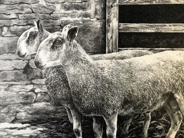
Last year Kim was commissioned to do the illustrations for a poetry booklet which involved her heading over to the other end of the county to do some on site research. I happily went along as her bag carrier, and history being my bag I was more than happy to carry it!
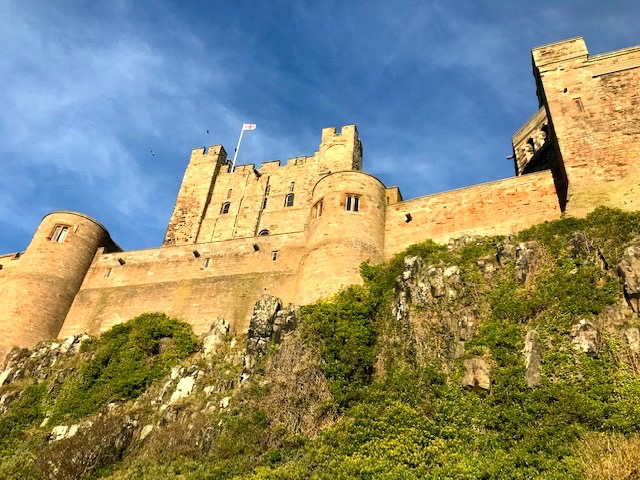
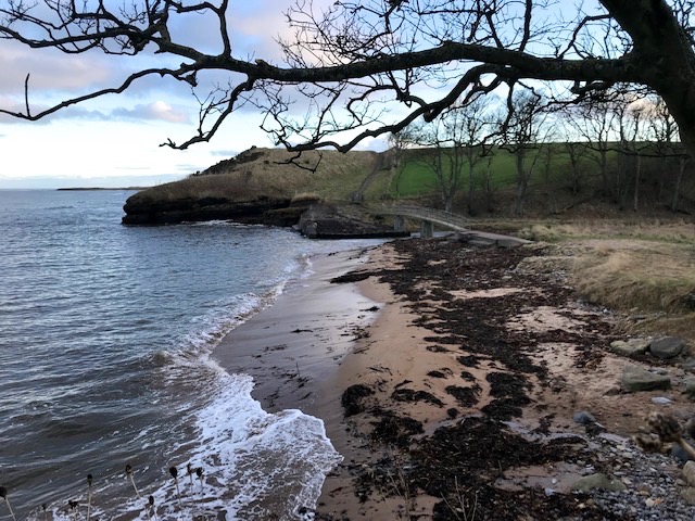
Our destination was Bamburgh. The one time capital of Bernicia, as the Saxon kingdom of Northumbria was known when allied with Deria (modern day County Durham). The sea roads were the motorways of the day and the fortress cum palace atop the mass of Whin sill rock, then as now, dominates this awesomely beautiful stretch of coastline.
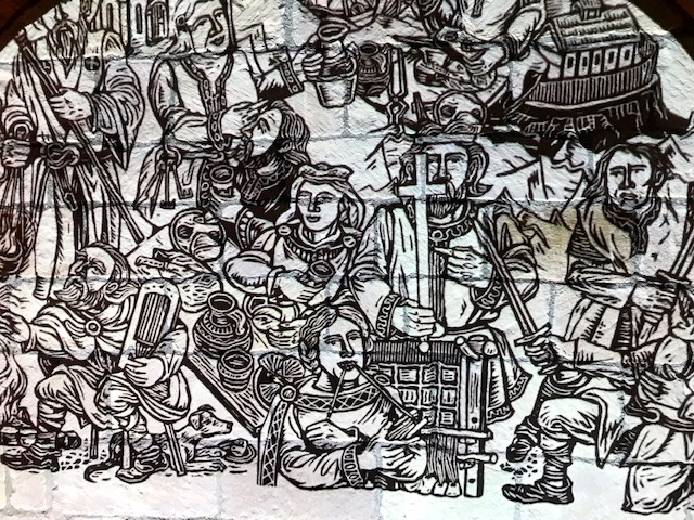
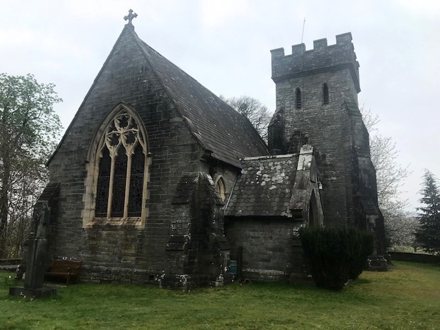
Bamburgh – or Bebbanburg as it was then known – was the centre of Christianity in the north of England and home of the early Celtic saints who established and rooted the faith here and at nearby Lindisfarne, or Holy Island. It remains a major place of pilgrimage, secular & religious, to this very day. St Aidan, called from Iona by King Oswald in AD 635, founded the first church that bears his name. The village’s current parish church is Grade 1 listed and it was this, in part, we were coming to discover more about.

Our destination was also the inspiration for Bernard Cornwell’s series of historical novels set in 9th Century set here and in the other Saxon kingdoms of Wessex & Mercia, The Warrior Chronicles, brilliantly adapted for television as The Last Kingdom. We’re both huge fans so having even this most transcendental connection with saga’s protagonist Uhtred, son of Uhtred, rightful lord of Bebbanburg made us very happy. In our rugged hero’s own words, ‘Destiny is all’!

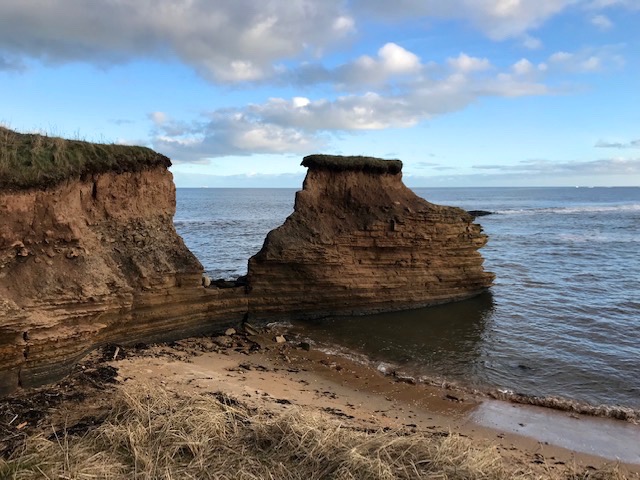
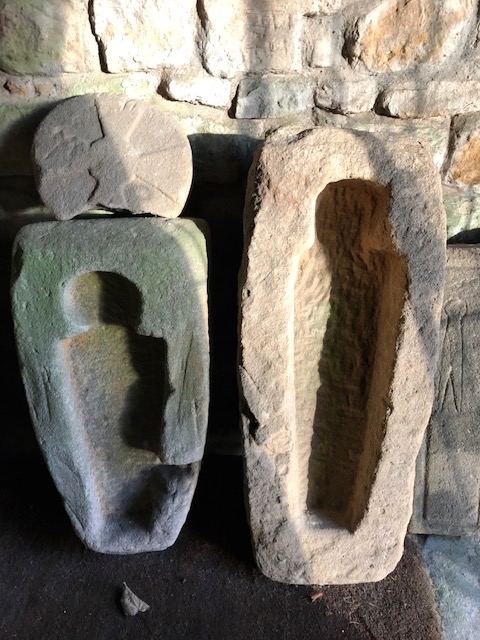
In the early 19th century a violent storm revealed part of the extensive dune system south of the castle to be a long forgotten graveyard. Little was made of the discovery in the ‘bowl hole’, as the spot is known locally, and the site was lost again to common memory until recently when from 1997 – 2007 a detailed comprehensive scientific study was made of the remains of the 110 individuals whose bodily remains were re-discovered there. Thanks to the wonders of radiocarbon dating we know them to be members of the Saxon royal household, who had lived during the 7th and 8th centuries. Burial in the foetal position, pre AD 900, with faces looking west indicates a Christian burial site, though whether they were all Christian or not it’s impossible to say. Approximately half were born and brought up away from this area. Immigrants who had come to serve the court in one capacity or the other from as far away as Mediterranean Europe and Scandinavia – or closer to home – from Scotland, Cumbria and Ireland.
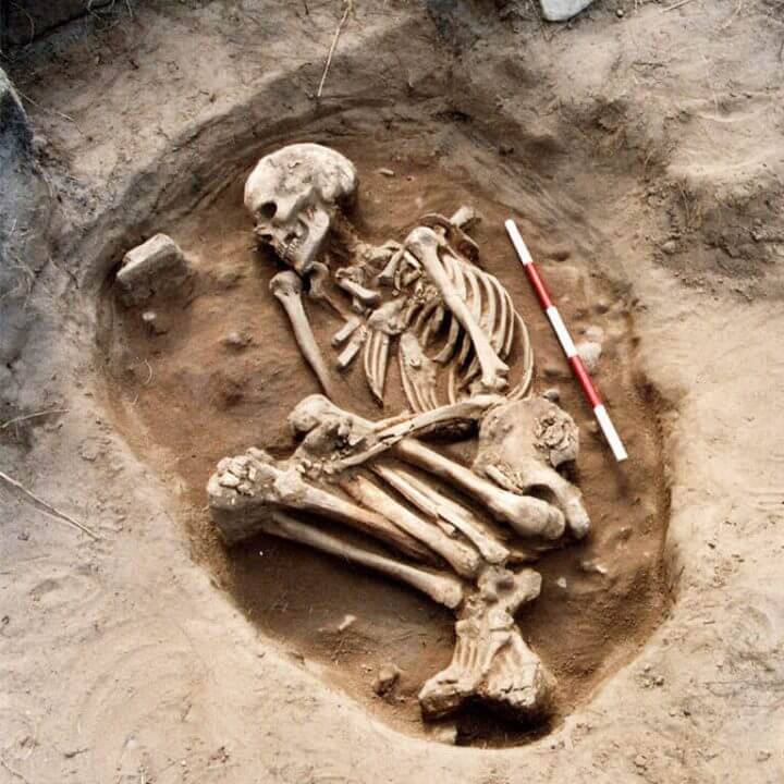
Apart from dental decay caused by richer sweeter foods these folk enjoyed relative good health, indicating high status. (Their diet was more animal based than marine, which seems curious for a coastal community). It’s the unique identifiers that bring individuals into sharper focus though. The 20 year old professional warrior who had suffered severe axe wounds, or the Irish seamstress with the nick between her incisor teeth caused by habitual biting of thread; the middle aged monk from the Hebrides who could have accompanied Aidan, the nine year old girl and her Mediterranean born mother who brought her here, and so on.
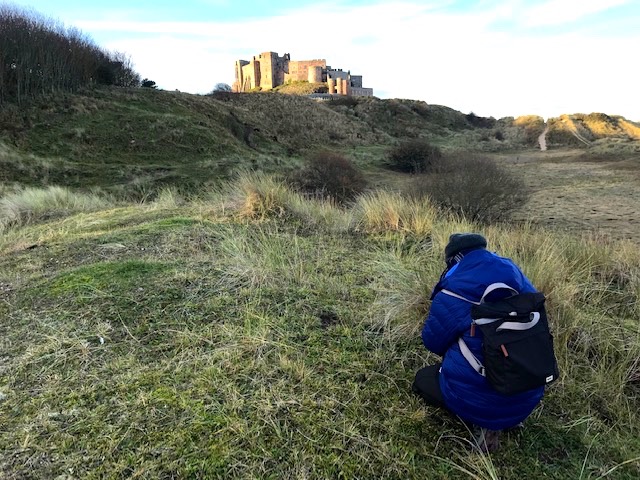
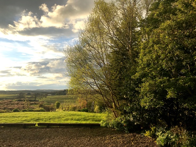
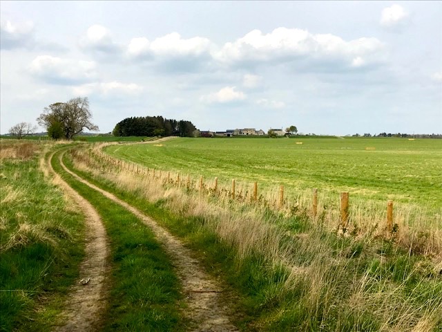
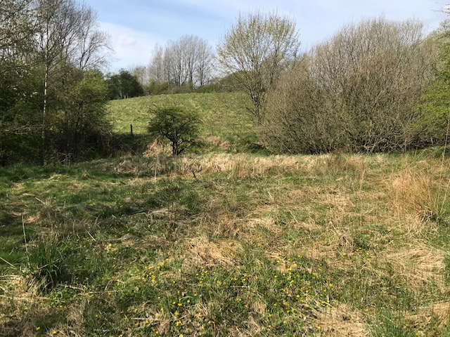
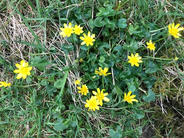
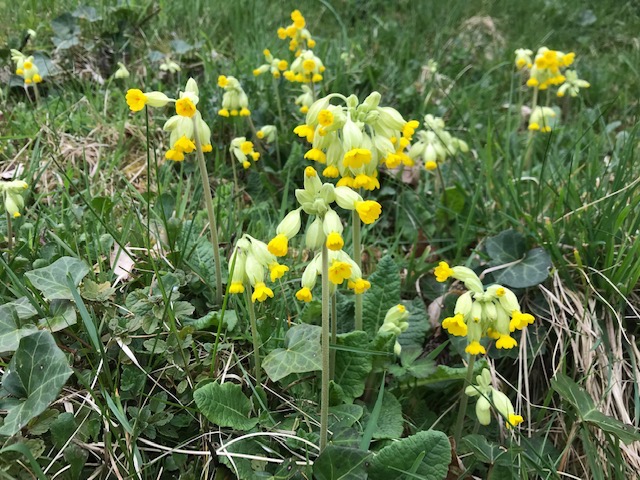
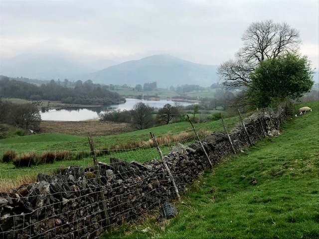
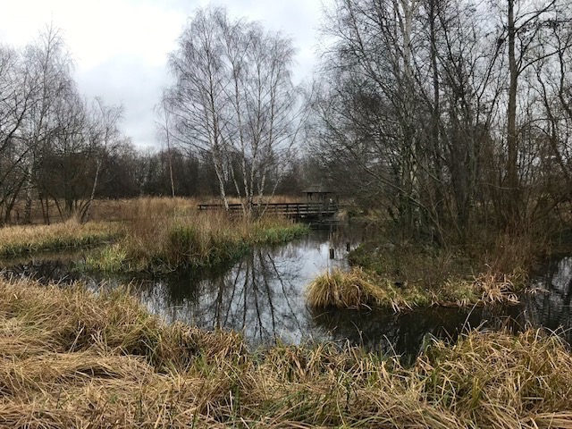
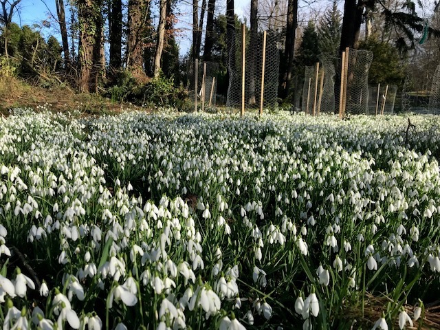
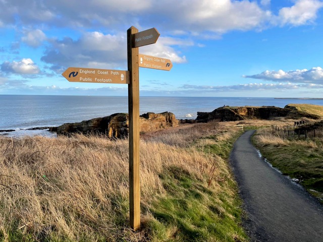
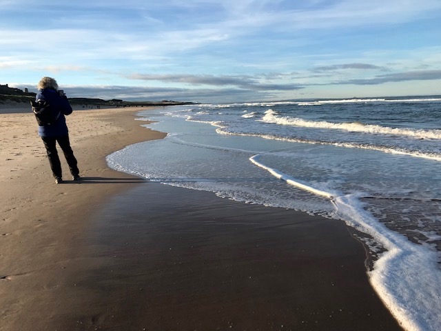
Musing on all this and more after lunch in one of the village’s cafes we wondered the near deserted sea shore and dunes, never far from the lengthening shadow of that ever present fortress on the rock, restored and extended by the Victorian arms magnate Lord Armstrong and still a family home. I lingered in Kim’s wake, with bag for samples and shoot, while she focused her camera lens on marram grass in the sand dunes, or gathered shells and seaweed under the wash of the retreating tide. The great expanse of bright winter sky arching over the timeless sea road, empty now of any visible traffic.
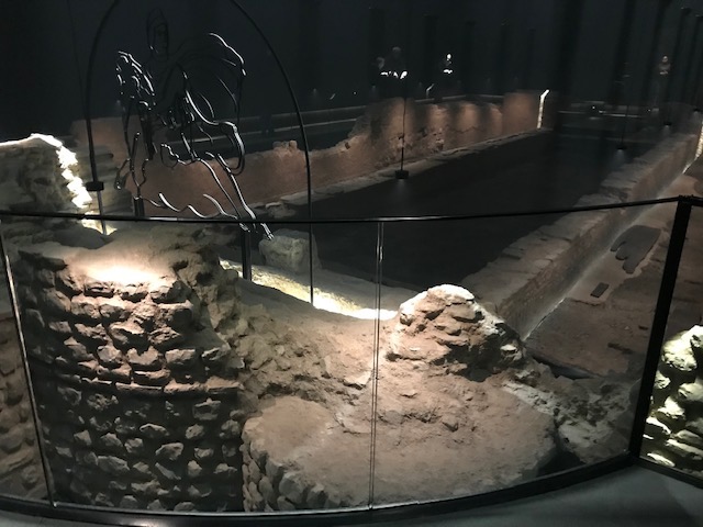
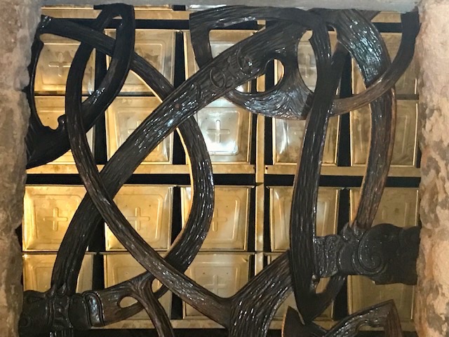
In 2016 the bodies of the dead, laid in zinc ossuary boxes imported from the continent, were escorted on horse drawn hearses before large crowds of onlookers to be solemnly re-interred in the crypt of St Aidan’s after a special service. Today an audio-visual display illuminates the story of the Bamburgh Bones on the crypt’s medieval stone walls, while the caskets – like safe deposit boxes with crosses – lie behind a frieze of Celtic style metalwork securing their new found place of eternal rest. We drove home enlightened by the poignancy of the migration story, grateful to have been immersed in the spirit of place. Darkness made visible, thanks to science and the power of human imagination.
But now something of seashell, something of seafoam,/is the arrangement of your puzzle in a vault / beside the sea, where flickers a candleflame / for what they didn’t find. There’s a strongbox for the rest. (From Find by Jacob Polley)
The Bamburgh Bones project is an ongoing cultural enterprise combining the skills and resources of community, academic and tourist bodies, supported by the Heritage Lottery Fund. Find out more at: https://bamburghbones.org/
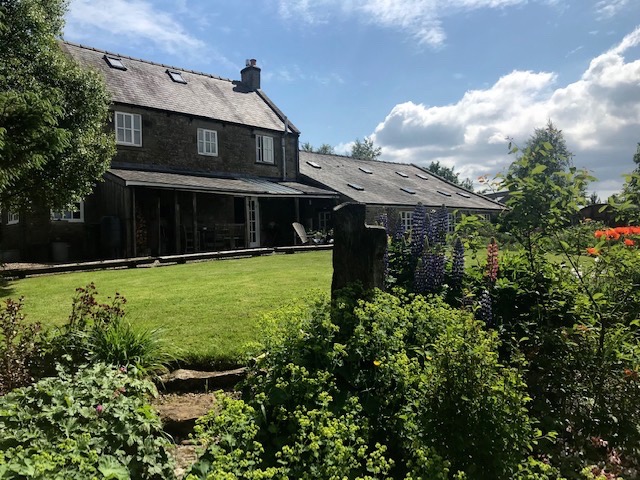
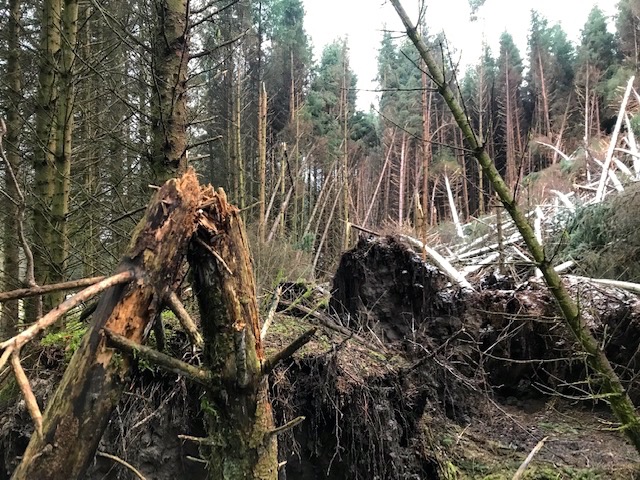
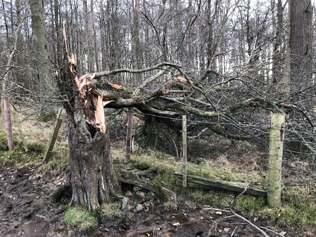
Footnote. Three days after our visit Storm Arwen struck and we spent the next 10 days living a modern day version of ‘the dark ages’ without electric power. Those experiences are recorded elsewhere on these pages. Kim, keen to make the best of winter daylight hours, set up her easel and drawing equipment by the south facing living room window and started the drawing process for what would become ‘A Hut A Byens’.
Sitting still for hours without heating added an extra challenge. (It certainly kindled an empathy with all those hard working monks illuminating the gospels back in the day at Lindisfarne). When power was restored the pace of work picked up and she met her deadline in mid January.
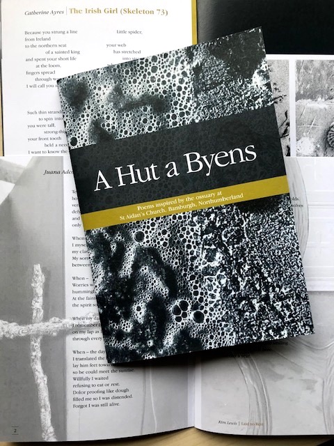
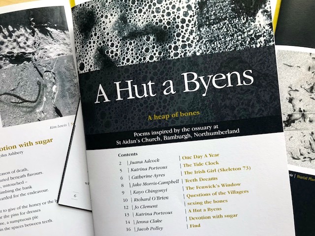
Poems commissioned and arranged by Dr John Challis (Newcastle Centre for the Literary Arts, Newcastle University) and Dr Tony williams (Northumbria University) in partnership with Jessica Turner and Northumberland Coast, AONB.
Skyeldeman, wor nyems, fetched far fr’ hyem / Hanted amang ee, a hut a byens / Happed up wi’ sand ahint the Fairen. / Hunkered i’ the Boolie Hyel / Waitin’ on a hooley /T’howk ‘em oot, th’ baad unkent. (From A Hut A Byens by Katrina Porteous) Translated from the Northumberland coastal dialect, with its roots in the Anglo-Saxon as: Stranger, our names, fetched far from home / Hung around among you, a heap of bones / Covered up with sand in the lee of the Inner Farne. / Crouched in the Bowl Hole / Waiting for a storm / To unearth them, the remains unknown.